


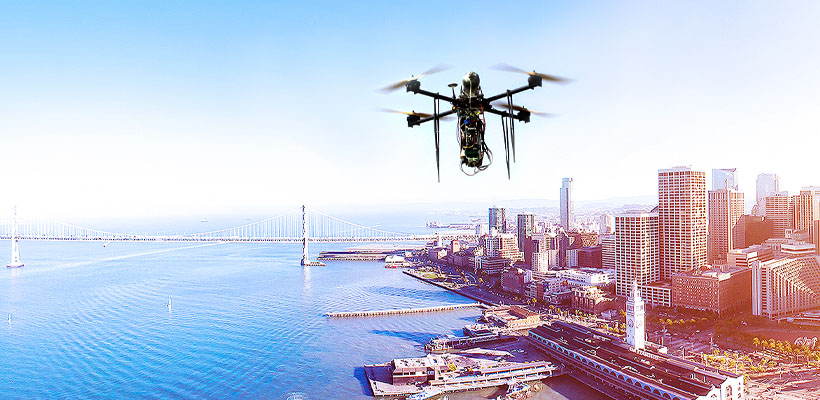
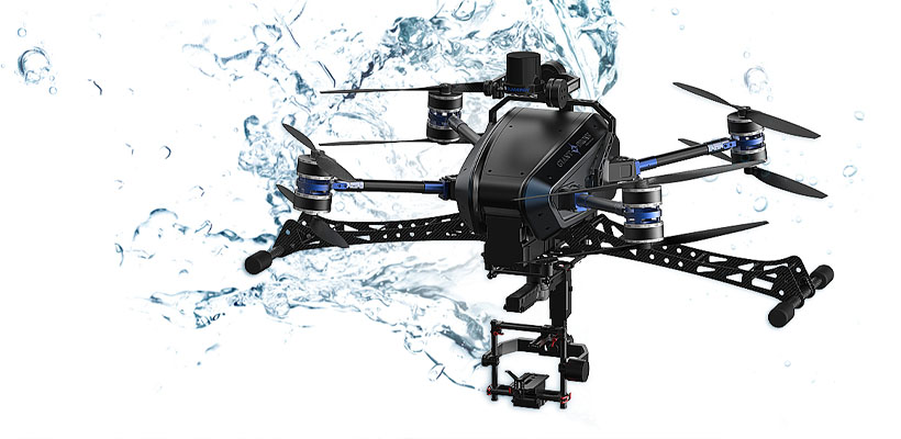
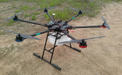
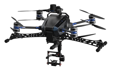
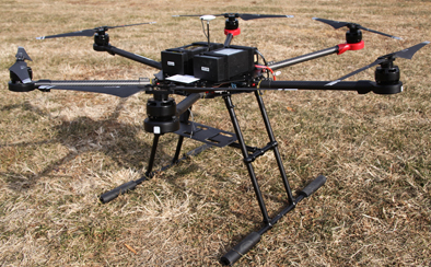
Maximized safety level for commercial aircraft by applying the high-reliability LiDAR sensor.
Collision Avoidance
Collision Avoidance
| LiDAR | Stereo Camera | Ultrasonic Wave Sensor | IR TOF Sensor |
|---|---|---|---|
| Laser Transmit and Receive method | Multiple image analysis method | Ultrasonic wave transmit and receive method | IR transmit and receive method |
| Extended range and accurate detection | Accuracy decreases depends on distance | Suitable for near-range usage (within 10~20M) | Suitable for near-range use (within 10M) |
| Flight available in the rain and low visibility condition | Not suitable in darkness | Failure occurs relating to wires and branches | Sensitive to daylight (IR saturation)2019-04-16 |
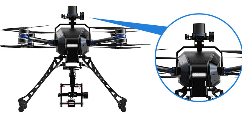
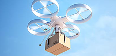
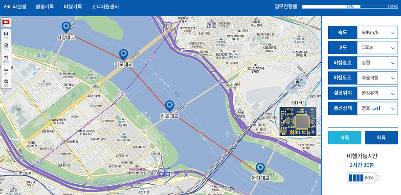
Development of real-time collision avoidance solution
by linking LiDAR and FCS
Collision Protection System
- Real-time Obstacle Detection:
Obstacle detection through LiDAR system data analysis
- Safe Auto-driving System:
Creates a map of the terrain surrounding the drone. The temporary auto-flight, self-recognition of a nearby environment, activates in areas where GPS application is unavailable
- Collision Avoidance Algorithm:
Automatically calculates collision possibility and explores routes that can avoid a collision through applying the captured LiDAR vector data through FCS
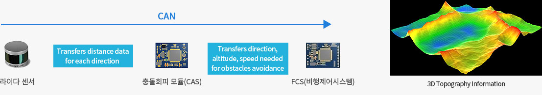
- Equipped an intelligent embedded SW module to recognize and process LiDAR data.
- Plan a collision avoidance path by applying vector data such as obstacle avoidance direction, altitude, and speed.