

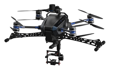
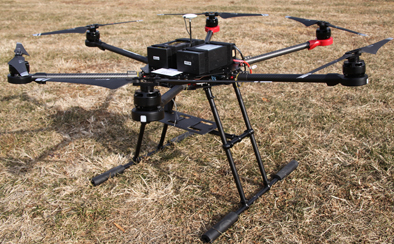
Business Areas
Demand for multi-purpose industrial drones in areas such as surveillance, survey, logistics, and agriculture is increasing.
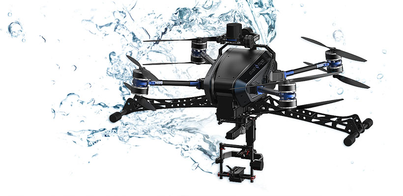
The Solutions from Giant Drone
Our method is timely and costly efficient compared to the other companies are related to industrial drones. We also focus on increasing the status of Korean drones in the international drone industry by exporting and demonstrating the capability of Korean drones.

In focus on the public sector, drones are suitable for areas where human labor is complicated or inefficient.
In focus on the public sector, drones are suitable for areas where human labor is complicated or inefficient.
| Application | Example | Outcome |
|---|---|---|
| Delivering | Deliver emergency kits to a disastrous or isolated area. Ex) Deliver or post to an island | Timely efficient, reduce delivering fee Quick delivering (national benefit) |
| Army / Public Safety | Security inspection, surveillance or trace a criminal for a long-term (chase the suspect at large mountain or escape routes. | Reduce human labors Stabilize a nation with security reinforcement |
| Secure Facilities | Inspecting bridges, railroads, buildings, high-voltage transmission cell towers. (towers about tens of km) | Reduce time and labor costs Increase national convenience |
| Mapping / Inspecting | Mapping, surveying, analyzing civil complaints and disaster fields. (inaccessible area such as nuclear event or lifesaving place) | Reduce costs Eliminate danger properties |
| Manage Seashore and border area | Inspect illegal ships in border, shoreline, etc. (various application field utilizing night observation device such as thermal image camera) | Reduce human labor and expenses |
| Forest and disaster observation | Prevent the forest fire, survey embers, and pesticides, etc. (aerial inspection through utilizing a thermal image camera) | Reduce human labor and expenses / Forest protection |
Examples of Drone use in Public Sectors
Applicating Examples
in the Spatial
Information area
The Korean Land and Geospatial Informatrix Corporation utilized the high-resolution video filmed by drones to build spatial information that includes geographic information.
‘Road facility survey’ that investigates the length, area, and conditions of a facility that is inaccessible by humans. ‘Public land maintenance survey’ that identifies unauthorized changes in public lands
Can be utilized for investigating islands that are inaccessible by humans, it can also be applicable to establishing information on the preservation of cultural properties
Applicating Examples
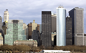
in Urban Disasters
The Ministry of Public Safety and Security employs drones for disasters that occur in urban areas.
In cases of fire, drones play the role as the ‘eye of firefighters’ to access areas that are difficult for humans to approach, provide real-time information that is required to extinguish the fire,
and buy sufficient time for the firefighters to carry out a proper rescue operation. Also, drones are utilized to find places where wild boars and elks hide in urban areas.
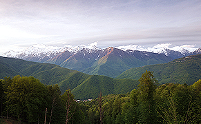
Application Examples
in the Forest Sector
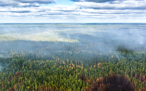
Korea Forest Service is using drones to detect and prevent disasters related to forests such as forest fires, landslides, and plagues
Can successfully detect a mountain fire (Sangju) and a landslide (Uljin) at the early stage to minimize the damage (March 2016)
In September 2016, the drone detected a tree that was infected to pinewood nematodes to reduce the damage
Drones are also useful to rescuing lost people in the mountains.
Applicating Examples
in the Agriculture Field
The Ministry of Agriculture, Food and Rural Affairs analyzes the images taken by drones to categorize the crops on site and uses the data to calculate crop yields by measuring the cultivated area. Also, drones are suitable to analyze crop damage from meteorological disasters, and utilize them to monitor the whole process of crop cultivation and use the gathered data to identify the sowing & harvesting period for each crop.
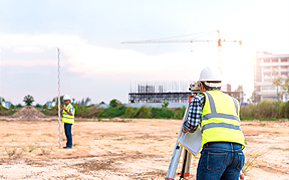
Surveying
Drones are suitable for various construction sites. Drones can take 400~600 photos per 1㎢; the images are applicable to calculate the amount of soil that needs to be cleaned out or filled, reducing the cost required for surveying. Investigating whether the construction follows the blueprint correctly with drones is also available. It works efficiently in dangerous terrains such as reclamation or mountain road construction. Four experienced land surveyors complete it in ten days, but the drones can accurately complete it in two days.
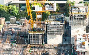
Monitoring construction progress.
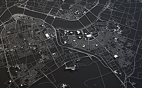
3D-mapping service
Surveying

Construction Field Bird’s eye view
Natural disaster monitoring
3D urban planning system
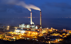
Inspection (Facility safety)
Drones are expected to use for monitoring not only old transmission towers in Korea but also old facilities in India and the Middle East.
- People no longer need to work in dangerous environments (electric shock, fall accidents prevention)
- Through hydrogen fuel cells, drones are capable of long-endurance flight, which offers the possibility for an extended filming session.
- The collision avoidance feature optimizes a perfect safety level.
- Through the PHASE ONE camera, high-quality videos, and images support further precise analysis.
- The improved drone-control solution eliminates the influence of magnetic fields, which allows hovering the ideal flight path without any restriction, and also offers safety accident prevention.
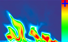
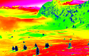
Analysis of thermal image camera

Transmission towers the in Middle East
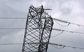
Damaged transmission towers
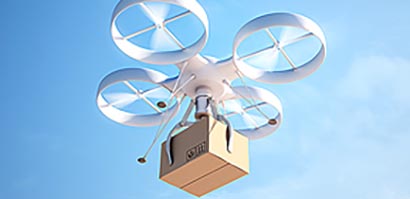
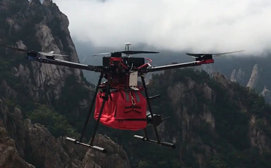
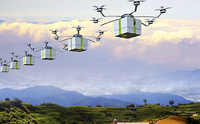
Postal Area
As the use of commercial drones is generally increasing, drones utilization in the various field is also growing.
In the future, drones deliver goods in urban areas as well as mountain & island areas with their rapid and transport accuracy.
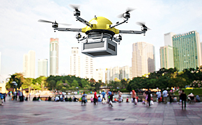
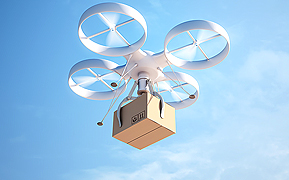
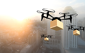
※ Various concept images of logistics delivery using drones
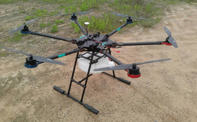
Agriculture
Able to contribute to agricultural productivity by utilizing agricultural drones not only for spraying pesticides and fertilizer but also being used for remote farm management and the expansion of precision farming.
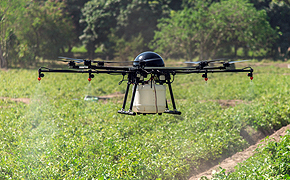
Pest control
Crop cultivation management
Harvested goods transportation
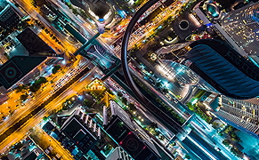
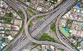
Surveillance
Real-time monitoring of weather changes and meteorological disasters and environmental pollution.
Also able to monitor traffic conditions such as traffic flow in highways and traffic collision.
Aerial filming
Large-scale buildings inspection

Facility management
Monitoring forest and fire

Seaside / environment surveillance
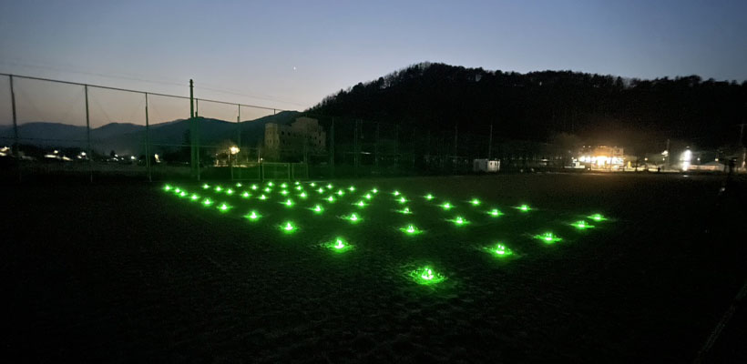
Nighttime flight