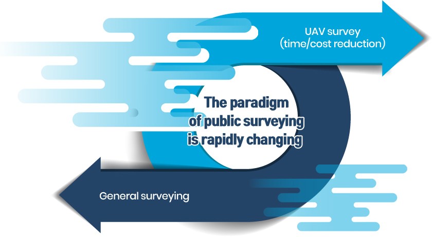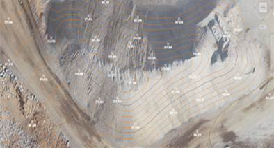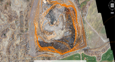


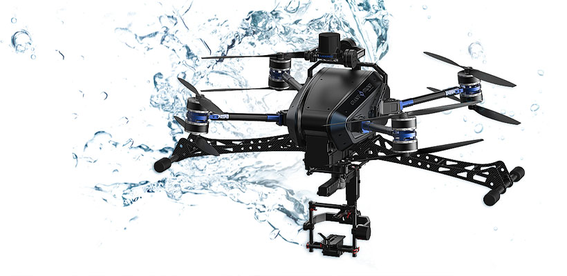

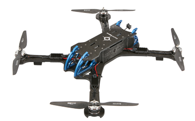
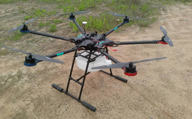
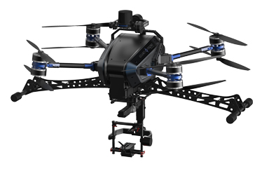
Spatial Information Industry
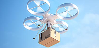
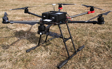
The spacious information industry is an industry that produces·manages·distributes the information through various systems and services that are built through being fused and converged with other industries. This form of business is continuously expanding by the development of AR (Augmented Reality) and VR (Virtual Reality) technologies. (Unmanned cars, Unmanned aerial vehicles, Drones, etc.)